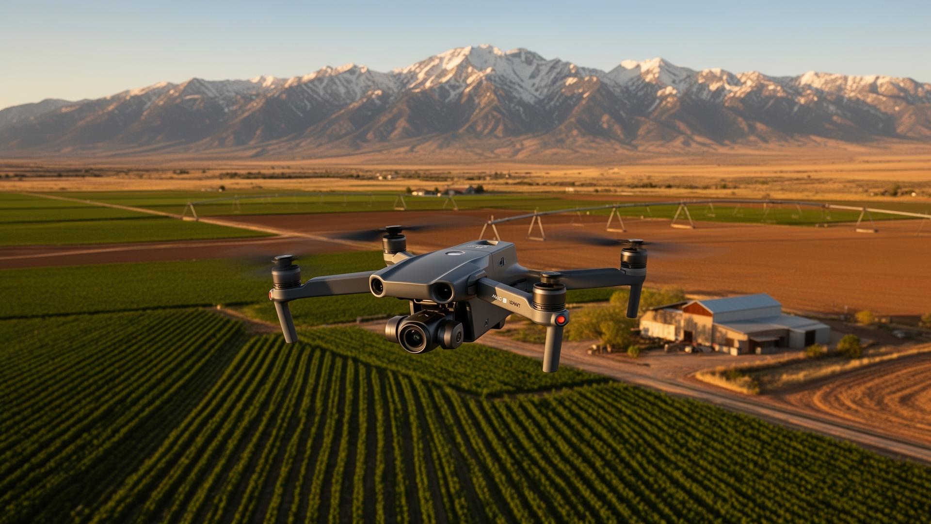
Aerial survey
Full-acreage mapping pass
Drone in flight capturing field boundaries, irrigation pivots, and outbuildings in a single survey.
In the field · Utah
Real captures from Utah farms — aerial surveys for acreage, crop health, infrastructure planning, and seasonal documentation. Every flight feeds an AI pipeline that turns raw imagery into decisions farmers can act on.
Aerial survey
Drone in flight capturing field boundaries, irrigation pivots, and outbuildings in a single survey.
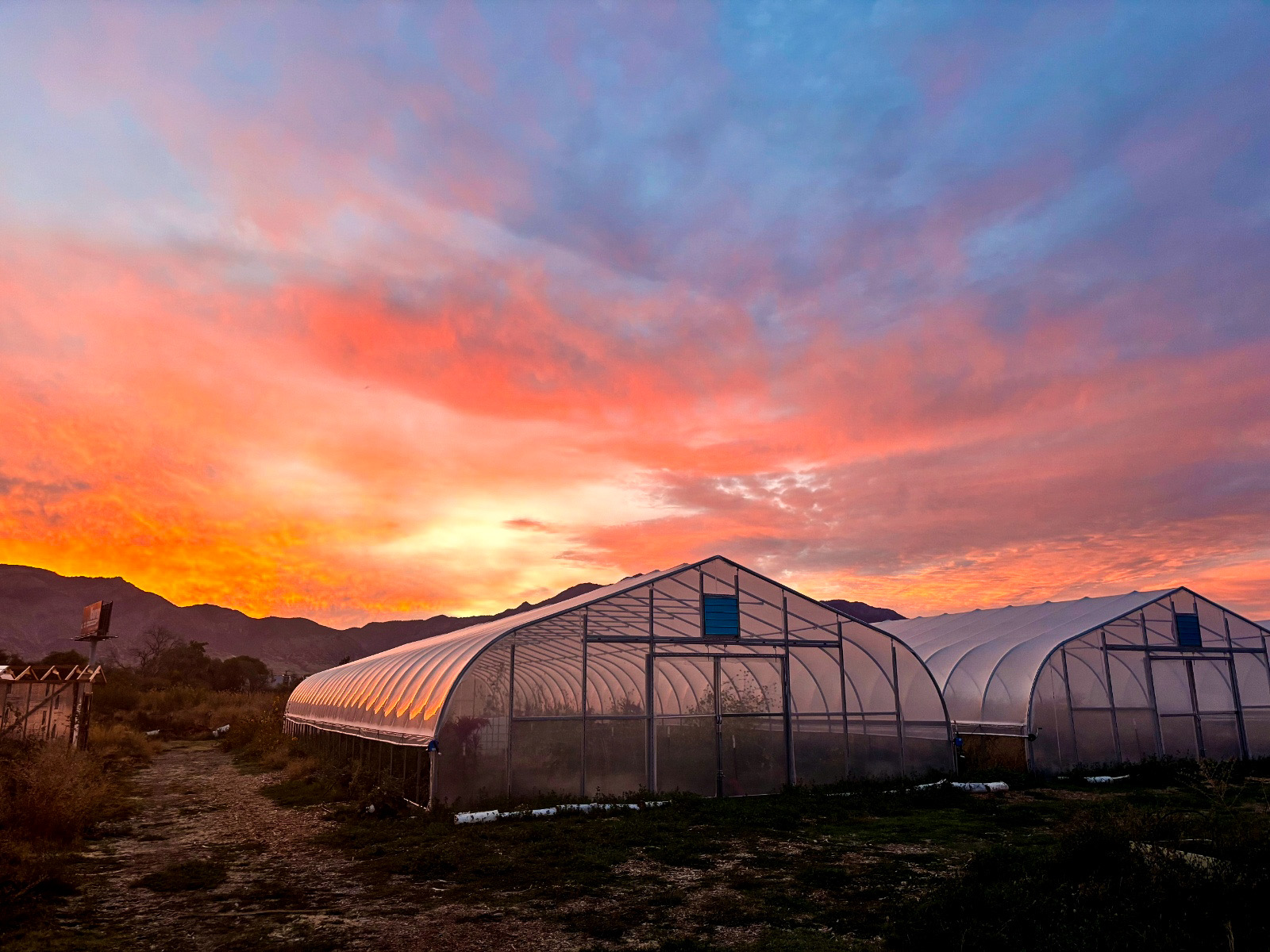
Infrastructure
High-resolution aerial documentation of hoop houses, sheds, and irrigation for planning and insurance.
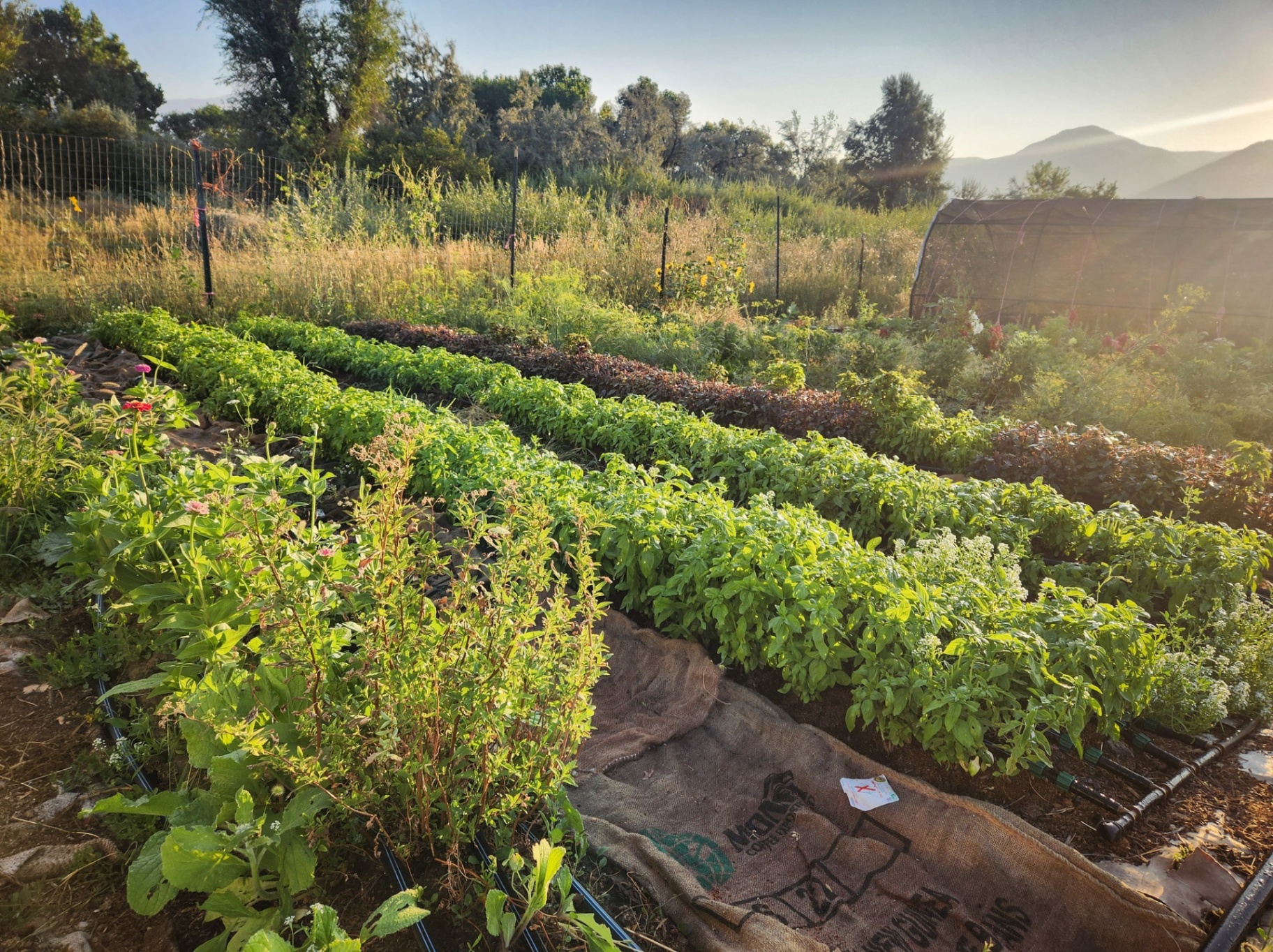
Crop monitoring
Repeatable passes that track crop vigor, drainage, and weed pressure through the entire season.
What we can do today
Based on current industry discussions and adoption trends:
Sub-centimeter orthomosaics and elevation data — perfect for fence planning, easements, water flow modeling, and grant paperwork.
Repeatable AI-assisted aerial passes that track growth, drainage issues, weed pressure, and overgrazing across the full season.
Barns, silos, irrigation pivots, corrals, hoop houses — captured in high resolution for insurance, planning, and repair reference.
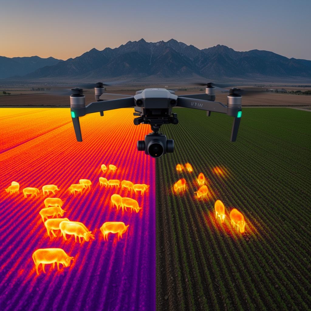
Coming soon · Add-on service
An upcoming add-on built specifically for ranchers, farmers, and land managers. Thermal sensors mounted to our drones reveal heat signatures invisible to the naked eye, and our AI models flag anomalies in real time — opening up a new layer of awareness across your operation.
A missing cow, a hidden leak, or an unmapped pasture can each cost more than a full survey. With drones and AI, we get answers in hours — not days.
Tell us about your acreage and what you're trying to solve. We'll scope a flight, share sample deliverables, and let you know when thermal imaging and our newest AI tools become available in your area.